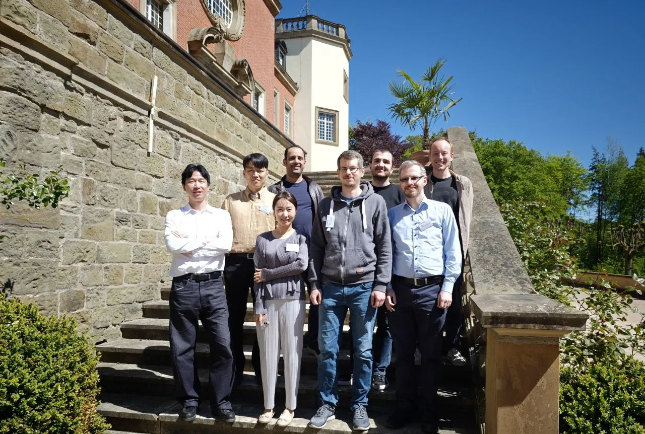
Photo by Zeyd Boukhers
May 18, 2026
With evolving regulations like the EU’s ESRS E4, companies face a massive challenge: how do you move from vague, qualitative risk assessments to precise, location-specific biodiversity reporting?
At the upcoming World Biodiversity Forum 2026 in Davos, our team at Geo Engine will be showcasing a solution we are working on. Here, we will discuss data processing infrastructures and present our Biodiversity Indicator Service (BioIS). Powered by our open-source Geo Engine, BioIS serves as a user-facing platform to discover, audit, and calculate key remote sensing indicators directly from satellite imagery like Sentinel-2.
This work builds directly on the momentum from our recent in-person consortium meeting at Schloss Birlinghoven, where we synchronized next steps with our international AI-BioDynamics project partners from Fraunhofer FIT, Seoul National University of Science and Technology, and Kwangwoon University.
Catch our oral presentation live in Switzerland:
🗓️ Monday, 15 June at 13:15 CEST
🗺️ Room Schwarzhorn, Session FIN4
Full session details: https://doi.org/10.5194/wbf2026-170