We offer you the possibility to calculate and provide ESG indicators. These indicators are important for the assessment of your company and your sustainability. Here we focus on the provision of biodiversity indicators. Examples include changes in vegetation, changes in land use, or changes in water availability. In addition, we can provide deforestation indicators for EUDR.
Inquire without obligation and receive our assessment
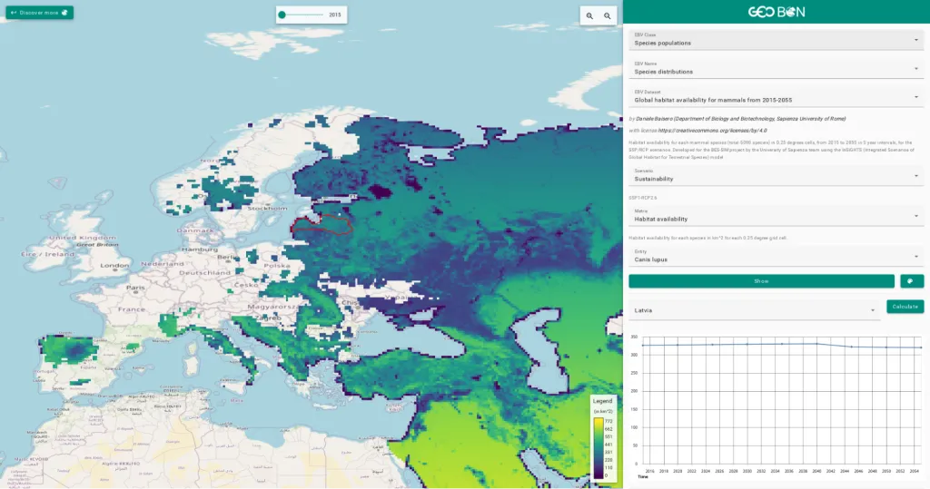
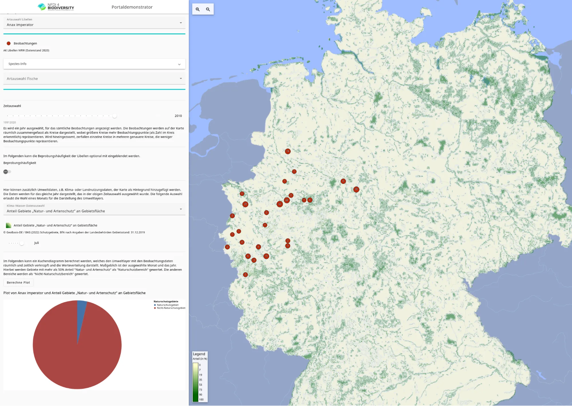
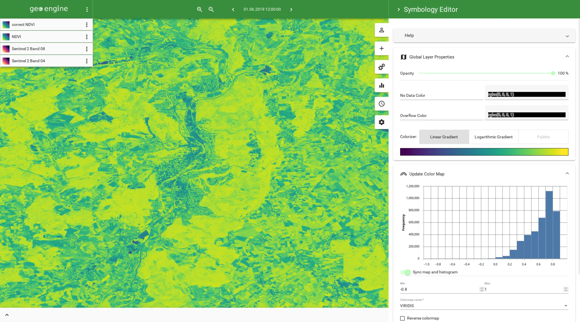
We create custom-fit data portals with and for you. This allows you to offer dynamic data and interactive analyses for your target group. Web GIS, dashboards and Jupyter notebooks are then possible as a form of access, depending on the target group and area of application. The data portal can also offer derived data, because with Geo Engine we bring a tool with standard interfaces and workflow processing.
Inquire without obligation and receive our assessment
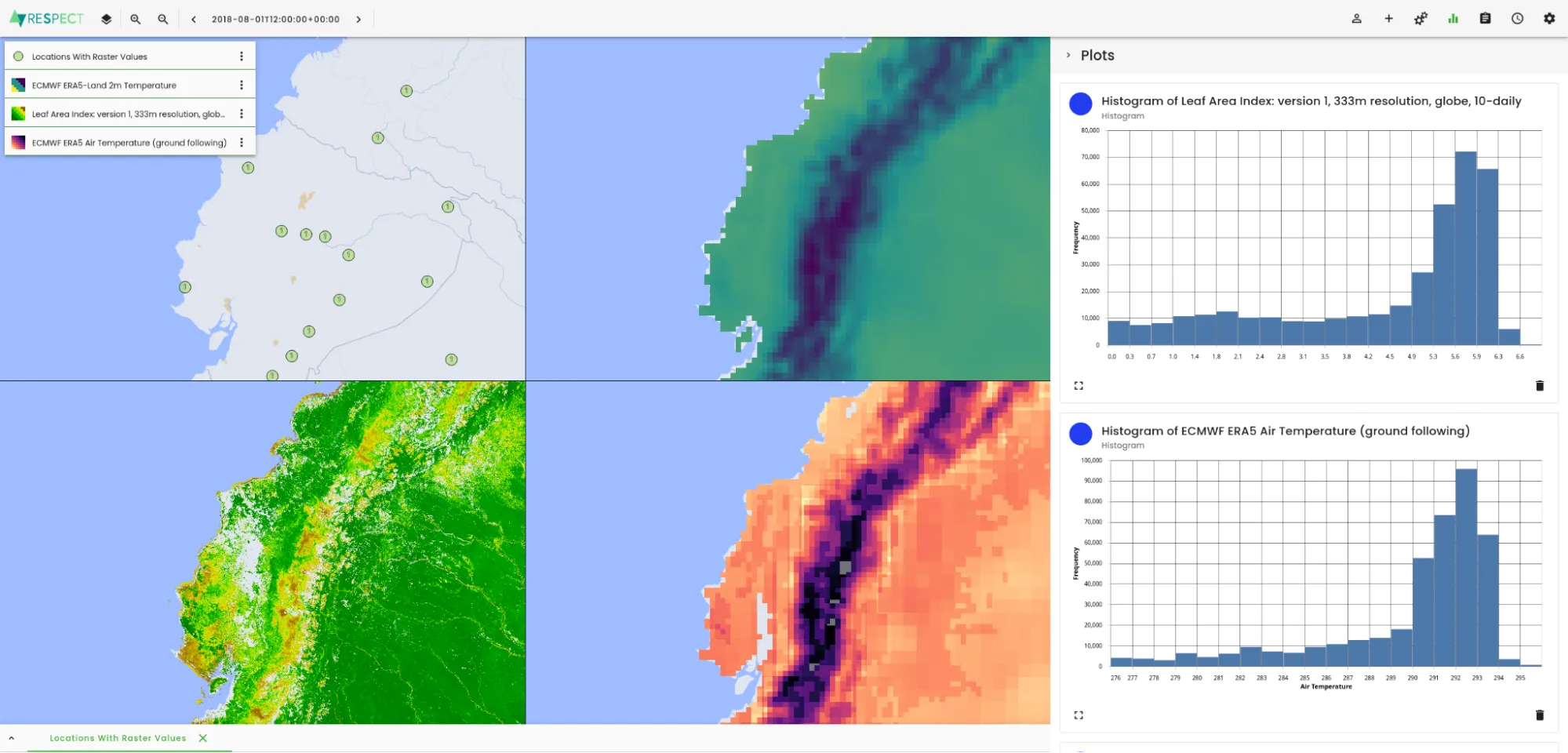
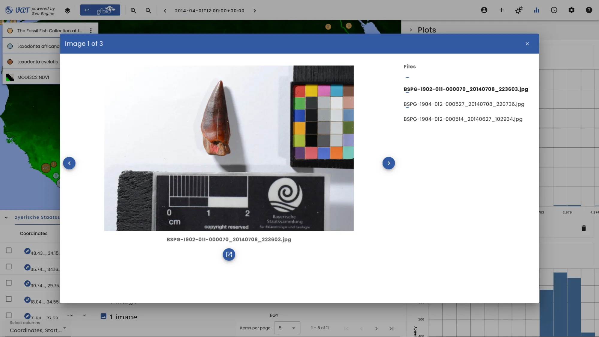
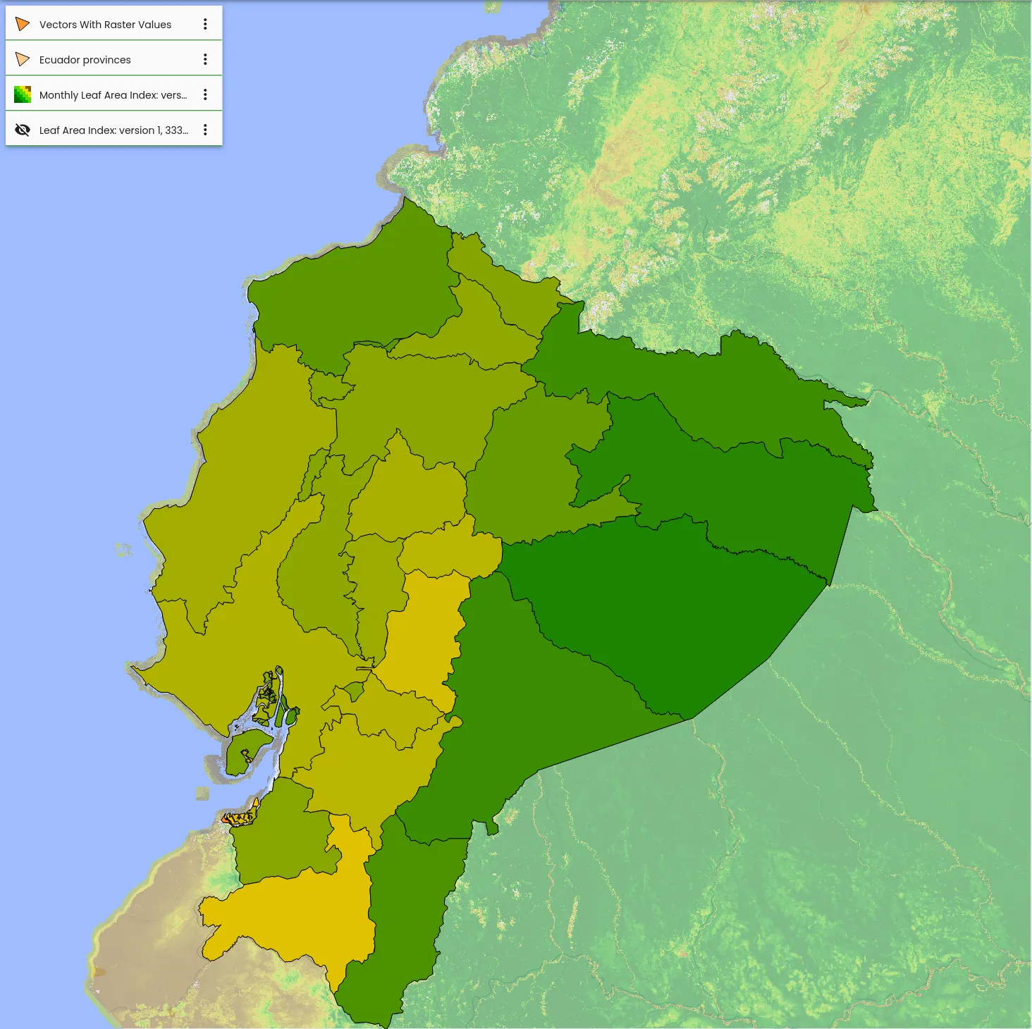
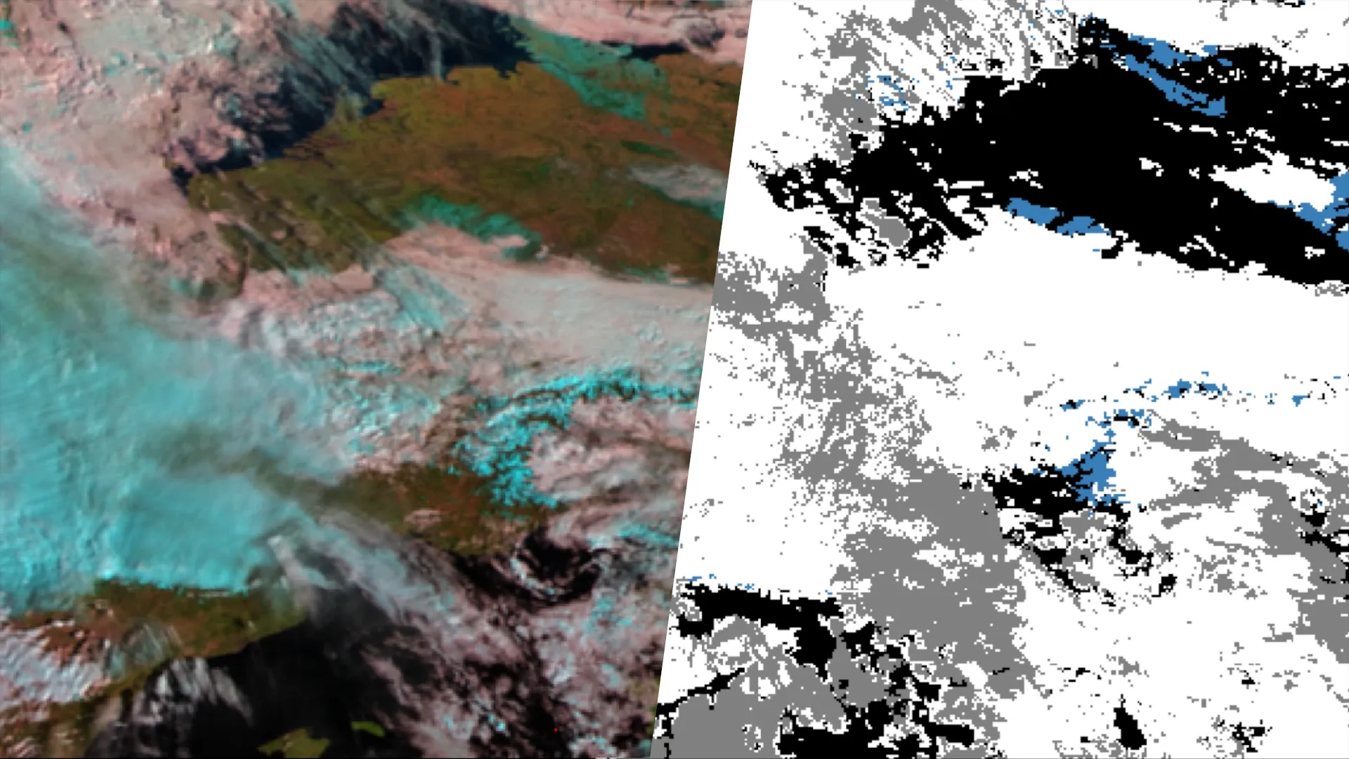
We integrate and combine your internal geodata for you and provide you with access to external data pools. We realize this in the form of a data mesh, so that the respective specialist teams can access a wide variety of data sources in a uniform and transparent manner. The previously time-consuming data preparation can thus be largely eliminated. This saves your teams a lot of time, which they can use for their technical work. Our data mesh solution offers many more advantages: From now on, all geodata are dynamic time series. For example, external satellite data can be integrated so that the most up-to-date data is always available. Examples of external data are Sentinel-2, Sentinel-3 LAI, ECMWF ERA5, SRTM, MODIS, ALOS PALSAR and ECOSCTRESS.
Inquire without obligation and receive our assessment
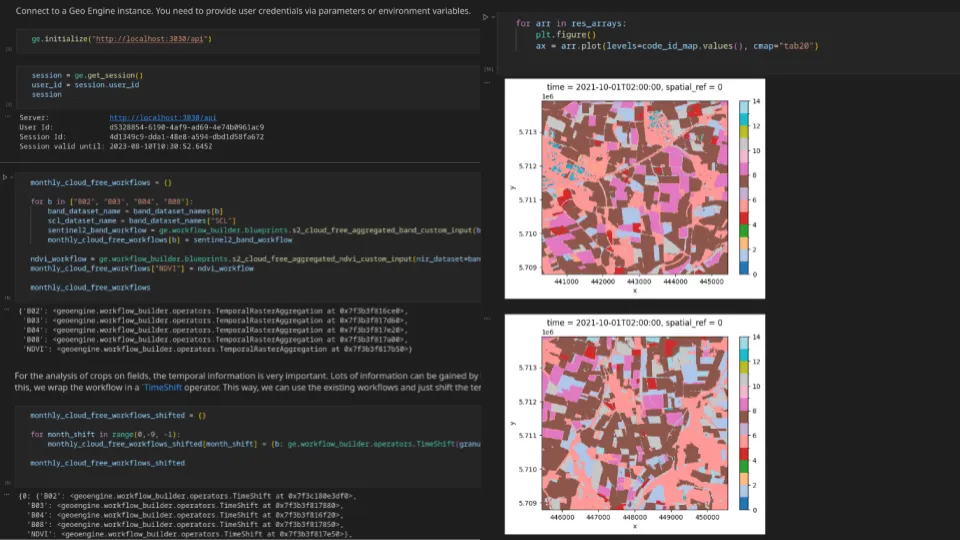
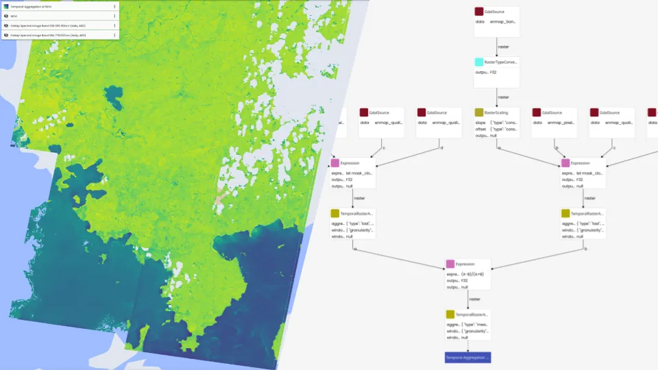
We realize data and AI pipelines for you. We define comprehensible workflows and implement them as robust, reusable and repeatable data processing. Our motto here is “workflows instead of scripts”, which can implement complex processing pipelines while being directly operationalizable. By using our Geo Engine technology, even updated data can be processed directly. Through Geo Engine’s workflow approach, we can implement the dynamic AI pipelines that are right for you. In doing so, you can benefit from all the advantages of Geo Engine: Your AI pipeline reacts to updated data, can be adapted to new target regions and times without effort and is flexibly expandable.
Inquire without obligation and receive our assessment