www.preline.co
www.preline.co
www.preline.co
We offer you customized solutions for your requirements. Benefit from the multidisciplinarity of our team. We bring together expertise in geography and computer science to solve problems correctly and efficiently.
We offer you the possibility to calculate and provide ESG indicators. These indicators are important for the assessment of companies and their sustainability.
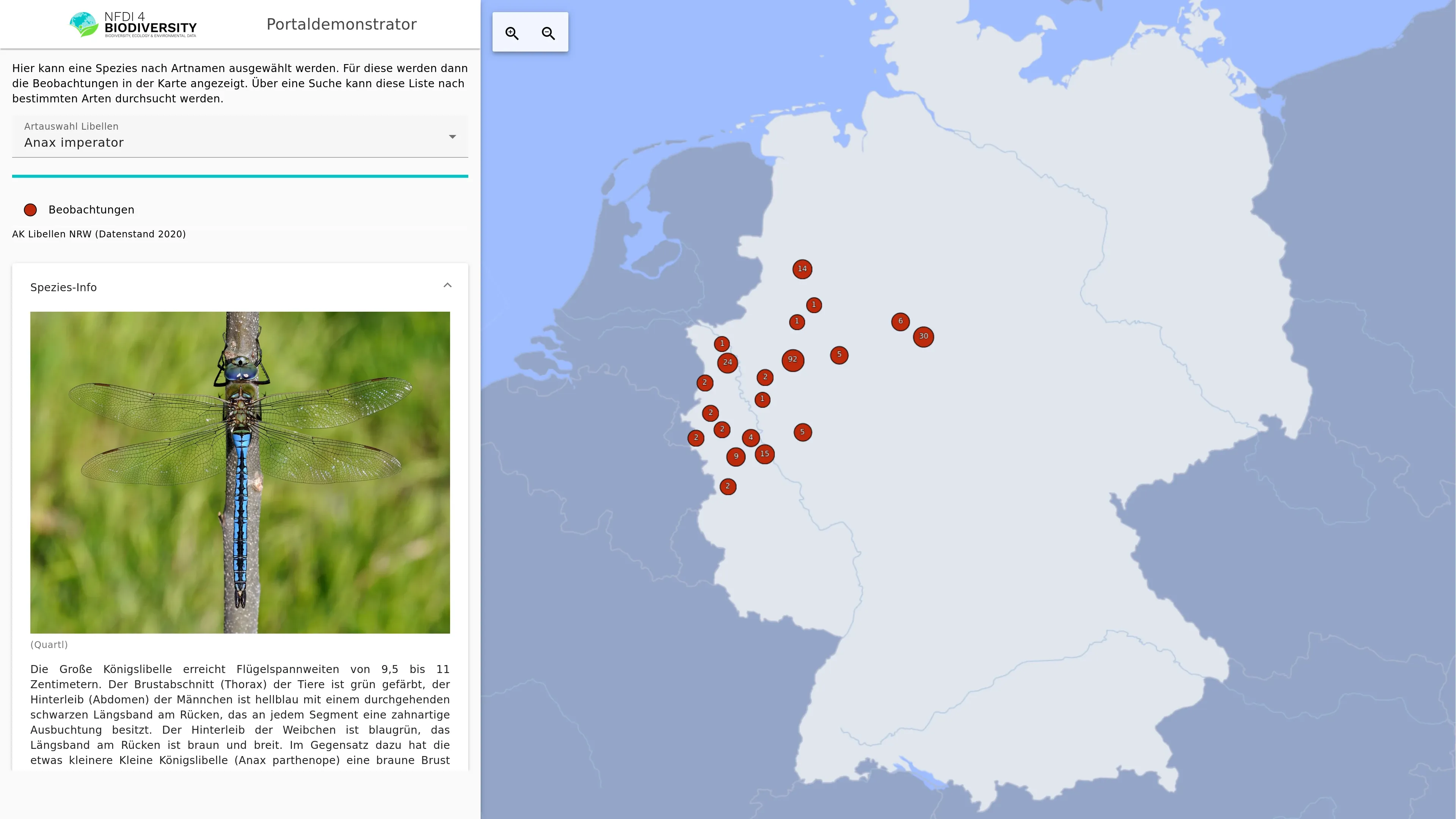
We develop customized data portals tailored to your needs. These portals enable you to access and analyze geodata and time series.
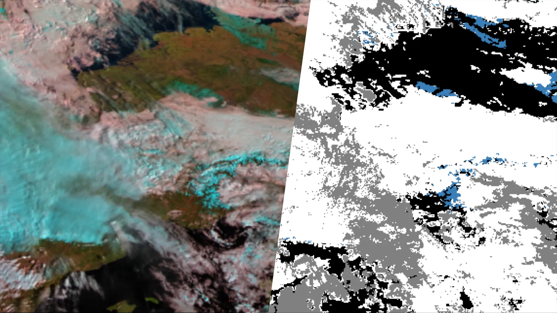
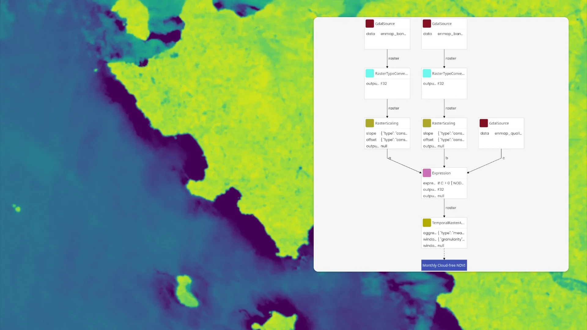
We implement data and AI pipelines for you. In doing so, we define comprehensible workflows for you and implement them as robust, reusable, and repeatable data processing.
We integrate and combine your internal geodata and provide you with access to external data pools. External data includes, for example, Sentinel satellite data, ECMWF climate data, or commercial data.
Inquire without obligation and receive our assessment


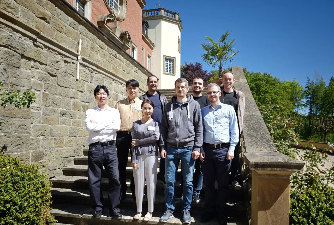
We are an interdisciplinary team combining expertise from computer science, geography and business administration.

The Geo Engine is a cloud-ready data science platform for processing spatio-temporal data. It features a unique processing model with time as a native dimension. In addition, it is designed for big data by applying stream-based processing for both raster and vector data workflows. Users can define workflows either declaratively, e.g., via Jupyter notebooks, or in a web-based user interface. The results of the workflows can be accessed via standardized interfaces or fed into machine learning processes.
Key components:
Stay up to date with our latest news and updates.
With evolving regulations like the EU's ESRS E4, companies face a massive challenge: how do you move from vague, qualitative risk assessments to precise, location-specific biodiversity reporting? At …
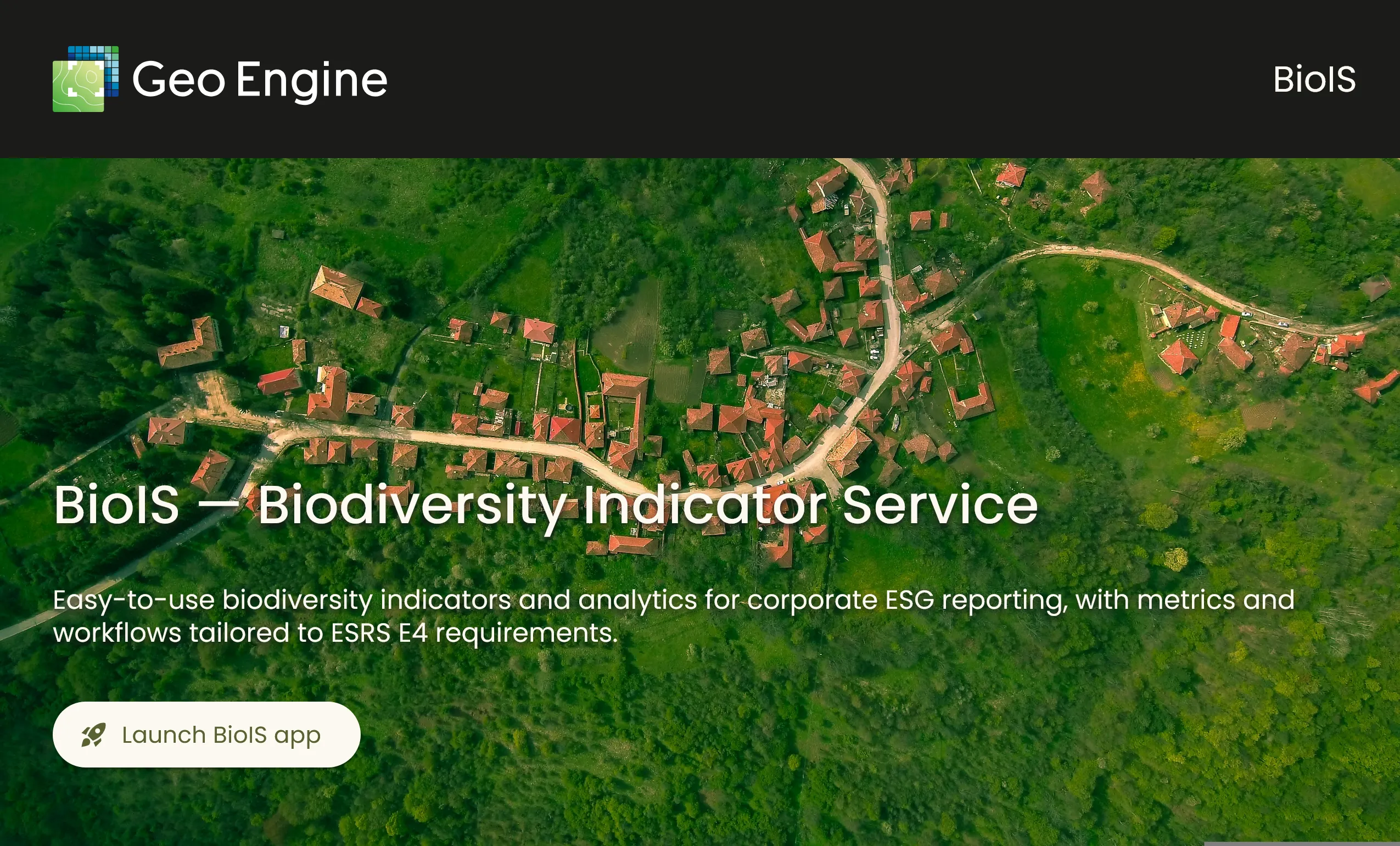
In the BINaRi project, we develop scientifically sound biodiversity indicators, for example for tree species composition and ecosystem condition. This helps companies meet EU reporting requirements un…
The year 2025 was a year full of exciting developments and milestones for Geo Engine GmbH. Here we have summarized the year as an interactive journey through space and time: https://www.geoengine.de/e…


Interested? Feel free to contact us and arrange a demo appointment!